TSX:CRB
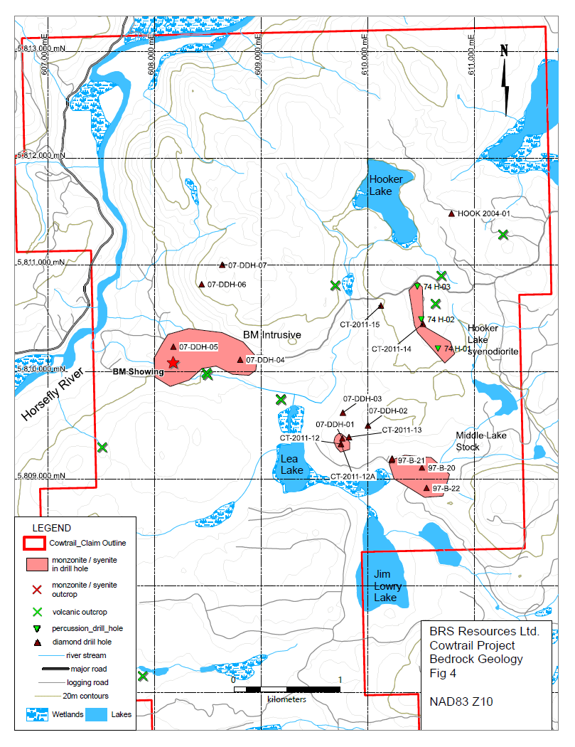
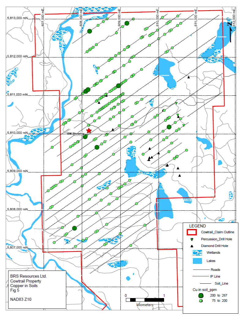
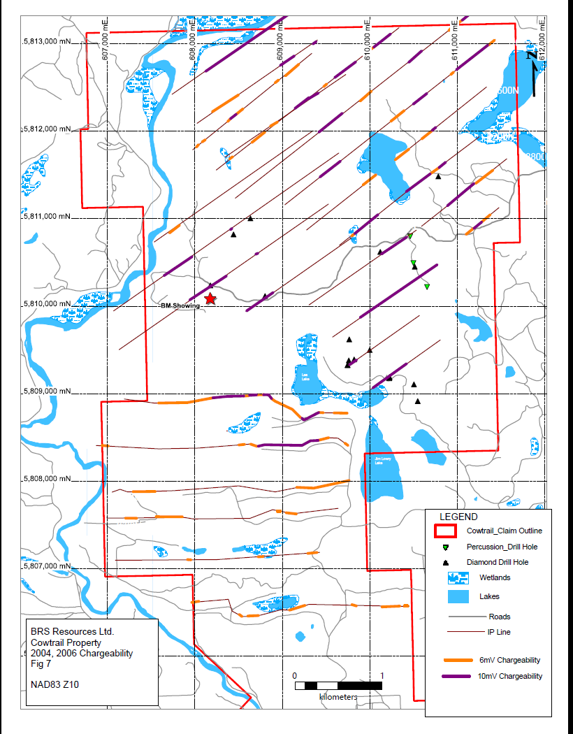
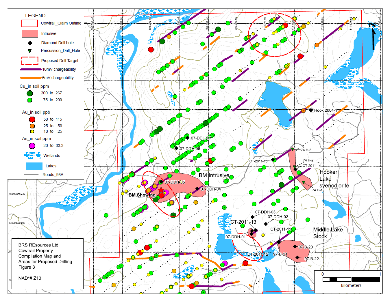
The Cowtrail property covers a magnetic feature that extends to the northwest from a buried weakly mineralized alkalic intrusive discovered by drilling completed by Eastfield Resources and Imperial Metals Corporation in 1998.
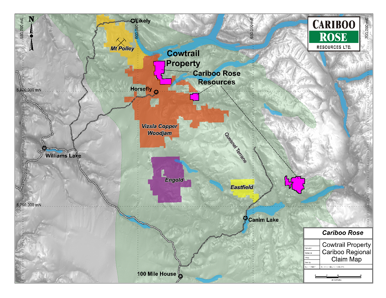
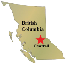
The Cowtrail property is contiguous and to the north of the Consolidated Woodjam Copper Corp. Woodjam Project.
The property is located in the Quesnel Trough, a large regional depositional belt extending 2,000 km from the U.S. border in the south to the Stikine River in the north. The region hosts several large tonnage copper-gold ‘porphyry type’ deposits including Imperial Metals’ Mount Polley Mine, Barkerville Gold’s QR Mine, Thompson Creek Metals’ Mt. Milligan deposit (in development) and Northgate’s Kemess Mine. In addition, Taseko’s Gibraltar Cu-Mo mine lies 50 km to the west of Woodjam, outside the Quesnel Trough. Quesnel Trough alkali-porphyry deposits typically occur in basalts and andesitic flows, fragmental rocks and alkalic intrusive complexes. They are generally gold-copper deposits consisting of chalcopyrite-pyrite and minor bornite sulphide mineralization. Sulphide zones are developed adjacent to concentrically-zoned alkaline plutons that are themselves seldom sulphide bearing.
The Cowtrail property is 100% owned. The project was optioned to BRS Resources Ltd in November 2022 who may earn a 60% interest over a four-year term by making payments totalling $400,000 and completing $2,000,000 in exploration. Drilling is anticipated to start in June 2023.
The project is fully permitted.